Sentiero dei Ducati
A crown, a crested castle or, perhaps, the typical “skyline” of an Apennine village with its characteristic “tower houses”. Then two lines of different colors, as two are the Trails, for hikers and mountain bikers, and two are also the regions crossed, Emilia and Lunigiana, an ancient land between Tuscany and Liguria. In the logo of the Sentiero dei Ducati (the Duchies Trail) there is all the essence of this magnificent path, designed to retrace the ancient routes contouring the borders of the duchies, that – from the XVIth to XIXth centuries – in turn, ruled over a vast territory comprised between the river Po and the Tirrenian sea: the Estensi’s duchies of Modena and Reggio, the duchy of Parma and Piacenza and the duchies of Tuscany. This land now crossed by the Sentiero dei Ducati is rich of superb places treasuring the traces of such past; a land still today known to few, very far from the crowds that too often flood the most traveled trails.
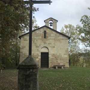
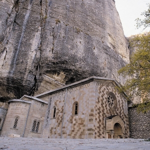
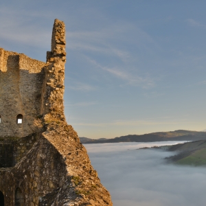
At least 11 stages, almost 160 km, over 7,000 meters of ascent and 7,300 of descent, from just 150 m. above the sea in the Matildic village of Quattro Castella to over 1,200 m. of the Lagastrello Pass . Then down again up to Luni, an ancient Roman port near the Tyrrhenian coast. An exciting, uninterrupted chasing of vineyards, castles, woods and crops, ancient small churches and stone made villages, fresh streams, beech forests, ancient chestnut trees, squat or more daring peaks until to guess, beyond the horizon, a distant sea, but reachable one day. Stitching together all this variety of landscapes, a common thread: a long path to follow at the slow pace of the wayfarer, at one’ own rhythm and at that of some trusted companion. Discovering, day after day, one of the most spectacular corners of the northern Apennines, perhaps among the richest in historical remains, always immersed in the profound silence of a primeval nature, often in total loneliness.
The whole path is marked on the ground with the red & white CAI trail markers and with the initials “SD”. The itinerary to be covered on foot is accompanied by those for MTB and Gravel, designed by the MTB Group of CAI (Italian Alpine Club) Emilia.
Links
The SD crosses the Via Matildica del Volto Santo, the Via di Linari, the Alta Via dei Parchi, the Sentiero Italia CAI and the Via Francigena. Through the CAI path 672 of Val d'Enza, which starts from Brescello, it connects the river Po to the cycle path VENTO (Venice-Turin). Its itinerary crosses the Terre di Matilde Protected Landscape, the Rupe di Campotrera Nature Reserve, the Tuscan-Emilian Apennine National Park and various protected areas, as well as the whole MAB UNESCO Biosphere Reserve of the Tuscan-Emilian Apennines.


